You come to Bellmore for the water. Canals thread behind quiet streets, kayaks slip out at sunrise, and a quick bay cruise can wrap up a workday. If you’re picturing a life that blends suburban convenience with easy access to the Great South Bay, you’re in the right place. In this guide, you’ll learn how Bellmore’s waterfront works, where to launch and play, what housing near the canals looks like, and practical tips to enjoy it all with confidence. Let’s dive in.
Bellmore at a glance
Bellmore sits on Long Island’s South Shore in the Town of Hempstead, about 6 miles north of Jones Beach and roughly 27 miles east of Manhattan. Locals often refer to Bellmore and North Bellmore together as “the Bellmores,” with a clear coastal feel closer to the bay and a more traditional suburban fabric farther inland. For quick orientation, start with this snapshot of Bellmore’s location and context.
Commuting is straightforward. Bellmore has a Long Island Rail Road station on the Babylon Branch. Many riders use direct trains to Penn Station or transfer at Jamaica, with travel times that vary by schedule. Check the MTA’s Bellmore Station page for current timetables and amenities.
Where water meets daily life
The south end of Bellmore opens into Merrick Bay and the Great South Bay, a shallow estuary that shapes both recreation and ecology along the South Shore. Canal-front streets often lead straight to backyard docks, which is why you’ll hear Bellmore described as a true boating neighborhood. For a feel of how canal living links to the bay, explore this overview of Bellmore’s waterfront and canal lifestyle.
The Great South Bay is also a protected natural resource, with ongoing planning and restoration through New York’s South Shore Estuary Reserve. That long-term work supports habitats like eelgrass and shellfish that, in turn, support clean water and enjoyable recreation. You can learn more in the state’s South Shore Estuary Reserve Comprehensive Management Plan.
Getting on the water
Marinas and launch options
You do not need a large boat to enjoy Bellmore’s waterways. Small marinas and ramps dot the Bellmore–Merrick–Seaford corridor, and many residents use them for seasonal slips, transient docking, or launching trailers and paddle craft. A few examples to start your search include:
- Clubhouse Marina in the Bellmore area
- Bay Marine ramp listing for local launch information
- Nearby Four Corners Marina in Seaford, a short trip by car or boat
Directory pages are a useful starting point for addresses and phone numbers. Because services and capacity change seasonally, it is smart to call ahead to confirm hours, slip availability, and whether a ramp is open to the public or members only.
Boating, fishing, and paddling
Canal-front living often means morning coffee on the dock, then a quick run into the bay for fishing or a sunset loop with neighbors. Anglers head for protected bay waters and channels, while kayakers and paddleboarders find calm creeks and marsh edges on lighter wind days. Small sailboats and runabouts are common sights near the canals and in Merrick Bay. These patterns fit what you’ll see highlighted in local waterfront lifestyle summaries.
If you are new to the South Shore, learn the local channels and weather patterns before venturing far. The Great South Bay is shallow in many spots, and tide plus wind can change conditions quickly.
Beaches, parks, and preserves
For ocean swimming and boardwalk time, Bellmore residents often head to Jones Beach State Park. It is the region’s signature beach with long stretches of sand and wide ocean views. Verify seasonal lifeguard hours and parking details before you go.
Closer to home, small neighborhood parks and bayside preserves offer birding, walking paths, and low-impact access for kayaks and paddleboards. A nearby example is Norman J. Levy Park & Preserve in the Merrick corridor, known for views and observation areas. Local guides highlight this spot among others you can explore around town. See a concise overview on the Bellmore area guide.
Downtown dining and a relaxed waterfront rhythm
You may spend your day on the water, but you will end it downtown. The business district around Pettit Avenue, Bedford Avenue, and Bellmore Avenue anchors daily life with casual eateries, coffee, and quick errands. Many locals tie up their boating day with a simple routine: rinse the gear, then meet friends for a meal near the station area. For a quick snapshot of local amenities, browse this Bellmore local guide.
Seasonal events and community moments
Bellmore’s calendar has a few familiar beats each year. The Bellmore Family Street Festival is the headline event, along with seasonal parades, car shows, and weekend programming hosted or promoted by the Chamber of Commerce. Dates change by year, so check the Chamber of Commerce of the Bellmores for current schedules.
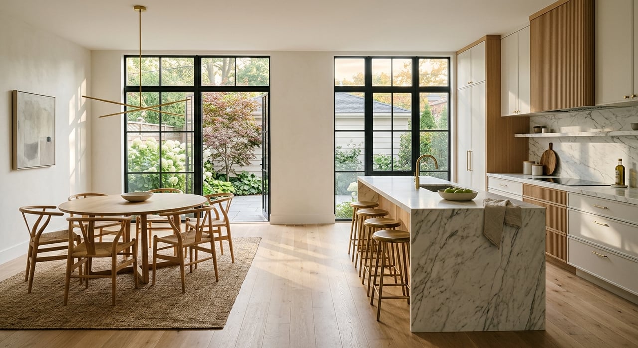
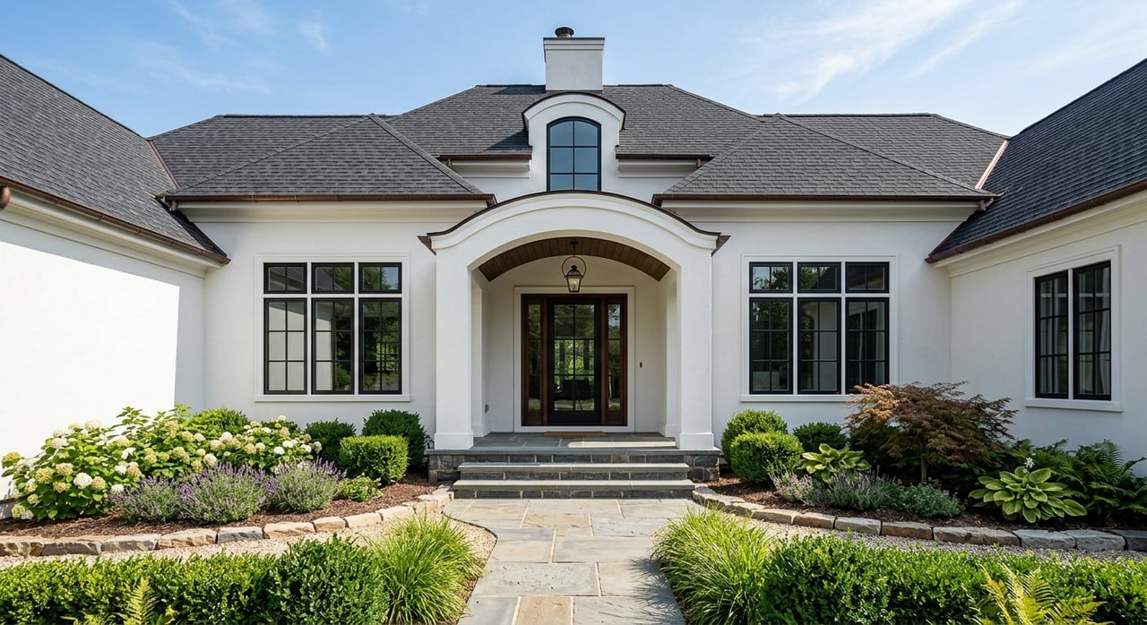
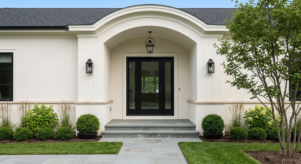
Housing by the canals
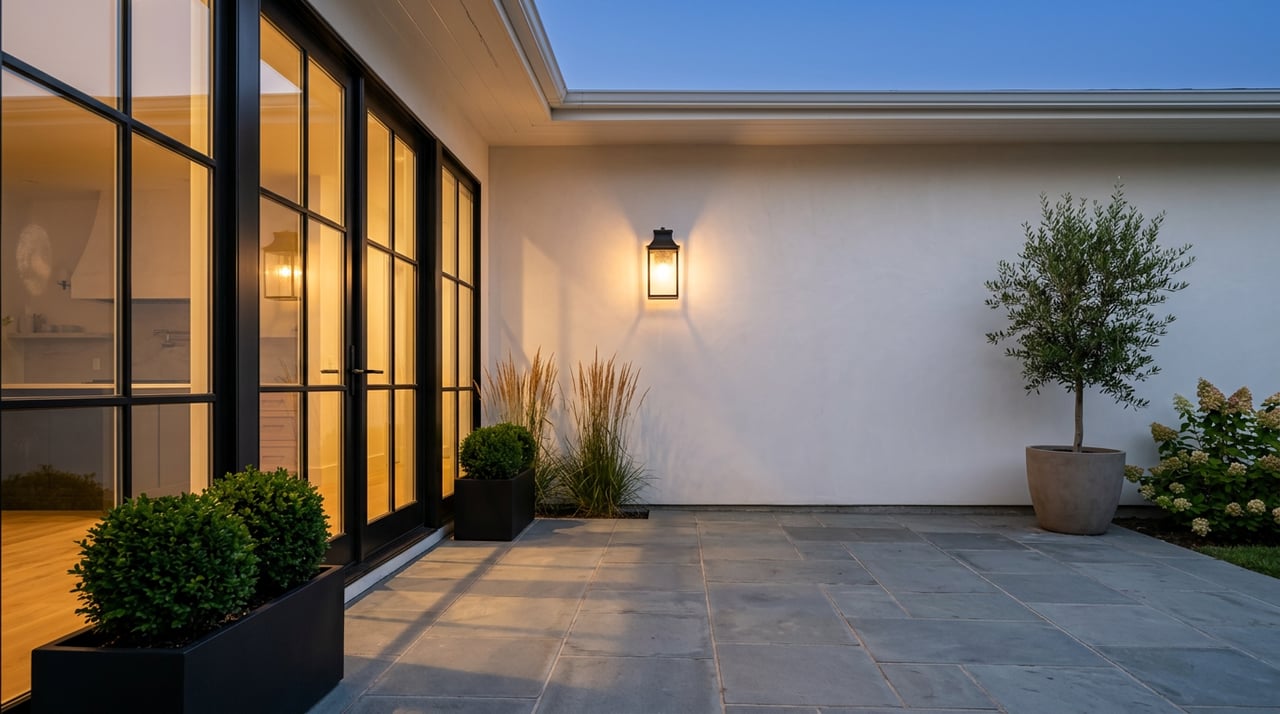
South Bellmore’s canal-adjacent streets feature a mix of single-family homes. You will see ranches, split-levels, Cape Cods, and vintage cottages that owners have expanded or replaced with larger custom builds. Many waterfront lots include bulkheads, private docks or pilings, and small lifts for tenders or personal watercraft. These features are typical across the South Shore and help explain the easy water access residents enjoy.
If you are thinking about a home with a backyard slip, budget time to review local rules. Town of Hempstead officials have addressed limits on commercial renting of private dock space and how many boats may be stored behind a single house. It is a good idea to confirm current regulations and permits before planning dock work or slip rentals. For background on recent policy discussions, see this coverage of backyard marina rules in Hempstead.
Flood, insurance, and resilience
Canal and bayfront properties can fall within FEMA-designated flood zones. Lenders typically require flood insurance when a home sits in a Special Flood Hazard Area, and some owners outside high-risk zones choose coverage as an extra layer of protection. Rates and underwriting have changed in recent years, and premiums vary by elevation and other factors. For address-level guidance, use FEMA’s Map Service Center and NFIP resources linked from this FEMA flood insurance overview, and consult an insurance professional for current quotes.
Bellmore’s waters are part of the South Shore Estuary Reserve. Ongoing state planning and investments aim to protect water quality, restore habitats, and strengthen shoreline resilience. These programs can influence local recreation and long-term stewardship. For the broader picture, review the state’s SSER management plan.
Commute and connectivity
One reason Bellmore’s waterfront works for so many people is the balance of bayside living and city access. The LIRR Babylon Branch serves the hamlet at the Bellmore station, with many commuters using direct service to Penn Station or connecting at Jamaica. Check the MTA station page for updated travel times, parking information, and station facilities. You get the coastal lifestyle without giving up a predictable commute.
Tips for enjoying Bellmore’s bays
- Learn the channels. The Great South Bay is shallow in places. Study charts and go slow until you know the water.
- Call marinas first. Confirm ramp rules, slip availability, and seasonal hours before you arrive.
- Watch tides and wind. Calm mornings are ideal for paddling, and wind can build in the afternoon.
- Respect the marsh. Stay in marked channels and avoid disturbing sensitive habitat.
- Check flood maps. If you are shopping for a home, use FEMA tools to look up the exact address.
- Plan your beach day. Verify lifeguard hours and parking details at Jones Beach before heading out.
A day on the canals
Picture a Saturday in South Bellmore. You roll open the garage, load the cooler, and push off from a backyard dock into a quiet canal. By mid-morning you are fishing a local channel. Lunch happens back on land, and by late afternoon you glide out again for a quick cruise as the sun dips over the bay. Dinner is simple downtown. This is the rhythm many people come to Bellmore to find.
If that sounds like your kind of day, let’s talk through the homes and locations that fit your budget and lifestyle. I focus on helping you balance daily convenience, water access, and long-term ownership details like flood and permitting.
Ready to explore Bellmore’s waterfront homes and nearby neighborhoods? Reach out to Nicholas Santillo to start a focused, local search.
FAQs
What bodies of water shape Bellmore’s waterfront?
- Bellmore’s canals connect to Merrick Bay and the Great South Bay, a shallow estuary central to local recreation and ecology. Learn more in the SSER management plan.
Where can you launch a boat near Bellmore?
- Options include local marinas and ramps such as Clubhouse Marina, the Bay Marine ramp listing, and nearby Four Corners Marina in Seaford. Call ahead to confirm details.
What is the closest ocean beach to Bellmore?
- Jones Beach State Park is the primary ocean beach for locals. Verify lifeguard hours and parking rules before visiting.
How does commuting to NYC work from Bellmore?
- Bellmore’s LIRR station on the Babylon Branch offers direct trains to Penn Station and transfer options at Jamaica. Check the MTA station page for current schedules.
Do canal homes in Bellmore require flood insurance?
- Many canal and bayfront properties are in FEMA flood zones where lenders require flood insurance. Use FEMA’s resources from this flood insurance overview and consult an insurance agent for specific quotes.
What home styles are common near Bellmore’s canals?
- You will find ranches, split-levels, Cape Cods, and expanded or rebuilt custom homes, often with bulkheads and private docks that support the boating lifestyle.